The ASBM Portfolio and Visiekaart project aimed to streamline urban planning and development processes by unifying and enhancing spatial data management in the municipality of Groningen. The project was essential for coordinating between various municipal policies and the stadsontwikkeling (SO) department, facilitating better decision-making through comprehensive and accessible geographic information system (GIS) tools.
Role and Contributions:
-
Coordination Between Policies and SO:
- Unified important spatial data in GIS format to ensure consistency and accessibility across departments.
- Acted as a liaison to bridge the gap between policy-makers and urban development teams, ensuring that spatial data needs were met and utilized effectively.
-
In-depth Analysis of Municipal Datasets:
- Conducted thorough examinations of municipal datasets to identify and uncover valuable data assets beneficial to SO.
- Ensured that relevant and high-quality data was available for urban planning and development activities.
-
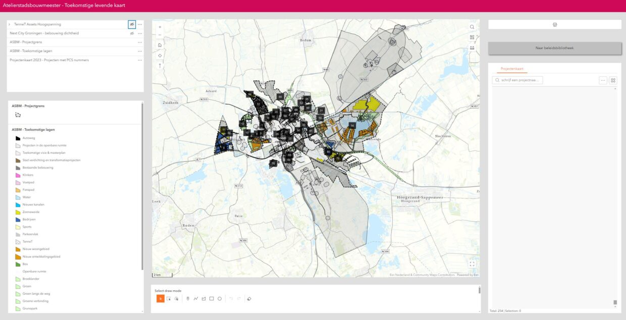
Visualization of Ongoing Projects:
- Created detailed visualizations of ongoing projects in GIS format to provide a clear overview of future developments in Groningen.
- Enabled stakeholders to better understand the spatial implications and progress of various urban projects.
-
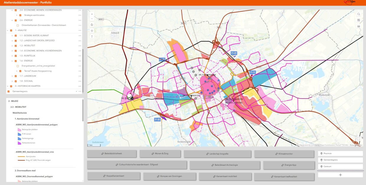
Creation of a GIS Web Application:
- Developed a user-friendly GIS web application that allowed overlaying of different maps, datasets, and projects.
- Facilitated the evaluation of various strategies and supported data-oriented decision-making processes.
-
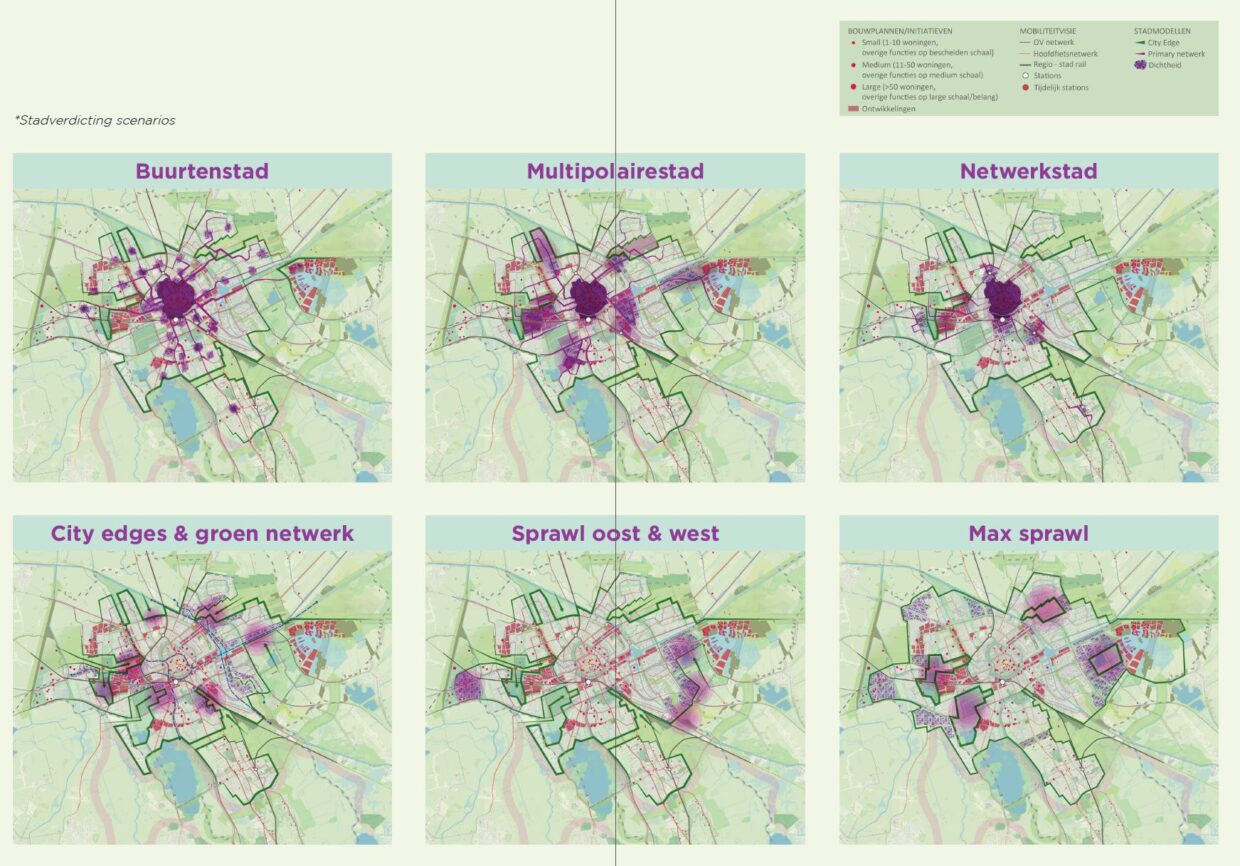
New Analysis Based on Strategies:
- Performed new analyses to assess and refine urban strategies, ensuring they were data-driven and aligned with municipal goals.
- Utilized GIS tools to simulate and predict the outcomes of different planning scenarios.
-
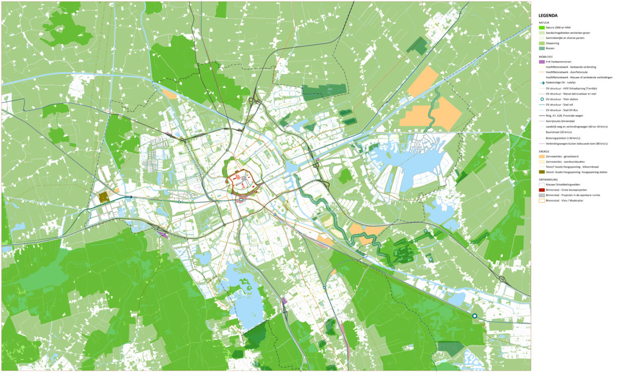
Development of Strategies and Visiekaart:
- Collaborated with ASBM to create and refine strategies and visiekaart (vision map) that could be easily used and updated by all members.
- Ensured that the visiekaart was a living document, adaptable to new data and evolving urban strategies.
Key Outcomes and Impact:
- Enhanced Data Coordination: Improved coordination between municipal policies and urban development, resulting in more cohesive and efficient planning processes.
- Data Accessibility: Increased the availability and usability of valuable municipal datasets for urban planning purposes.
- Improved Visualization: Provided clear and informative visualizations of ongoing projects, aiding in better understanding and communication of urban development plans.
- User-Friendly Tools: Delivered a functional GIS web application that supported data overlay and strategic evaluation, empowering stakeholders with robust decision-making tools.
- Strategic Analysis: Enabled data-driven strategy development and analysis, contributing to more effective and sustainable urban planning.
- Adaptable Vision Map: Created a dynamic visiekaart that facilitated continuous updates and alignment with current urban strategies.


