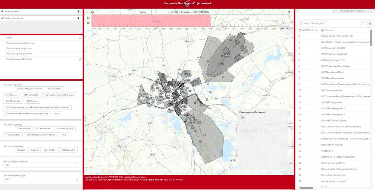
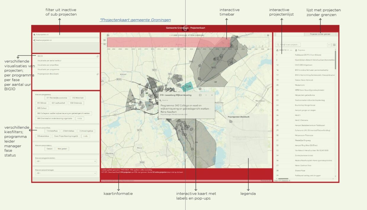
The Project Map project focuses on creating a comprehensive, dynamic map of projects for the Municipality of Groningen. This map is intended for various levels of stakeholders within the municipality to oversee projects, distribute resources, and manage organizational efficiency. It is important to establish a process for this map so that it is updated weekly.
Role and Contributions:
-
Collecting Project Information:
- Approached all project leaders to obtain the exact boundaries of the projects.
- Drew project boundaries in GIS and linked data from Microsoft Project Online to these boundaries.
-
Map Creation and Data Integration:
- Applied all important data from POL to filters and descriptions in an online web application.
- Ensured a clear and informative presentation of project data that is easily accessible to stakeholders.
-
Coordination with Geo-Data:
- Collaborated with the Geo-Data department to introduce an FME process that automatically updates the data weekly.
- Ensured a streamlined and efficient update process to maintain the accuracy and currency of the project map.
Key Outcomes and Impact:
- Comprehensive Project Map: A dynamic and up-to-date map that provides a clear overview of all municipal projects.
- Efficient Data Updating: Implementation of an FME process that ensures weekly automatic updates of project data.
- Improved Resource Allocation: A tool that helps stakeholders effectively allocate resources and manage project efficiency.
- Transparency and Accessibility: Increased transparency and accessibility of project information for all involved, leading to better-informed decision-making.

